
.svg)
.svg)
.svg)

.svg)

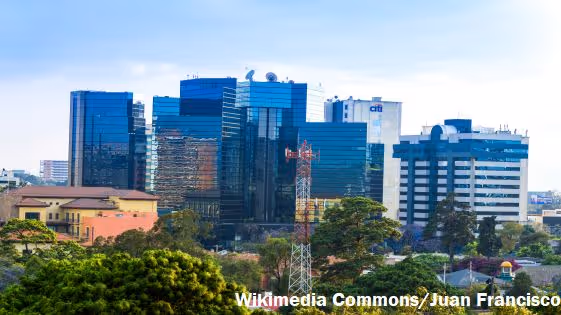
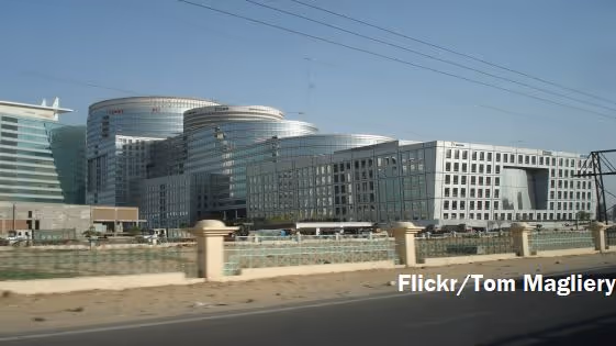
This project aims to improve current approaches to chart urban extent across the globe by integrating night light (NTL) data with Landsat 30m resolution satellite images. By applying state-of-the-art machine-learning techniques, this project hopes to produce a comprehensive global mapping of urbanization in close to real time.


Subscribe Now
Thank you! Your submission has been received!
Oops! Something went wrong while submitting the form.


.svg)

.svg)
%201.svg)
.svg)
.svg)